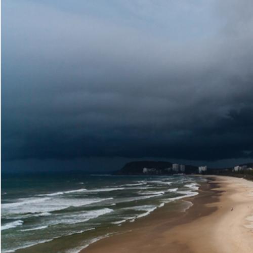
Parts of southeast Queensland, including the Gold Coast, are in the firing line for a severe storm bringing giant hail and destructive wind.
The Bureau of Meteorology released a forecast on Thursday, warning an isolated supercell may hit.
The Gold Coast is in the red zone, with severe thunderstorms “likely”.
The weather event would bring damaging winds, large hail & heavy rain.
This threat also includes the Scenic Rim, as well as parts of Wide Bay and the Central Highlands.
Severe storms are also “possible” for the Brisbane area and out to the Darling Downs and Granite Belt.
BOM says a weather warning could be issued later this afternoon.
More to come.
⛈️Today's Storm Forecast 27/10⛈️
Damaging winds, large hail & heavy rain a risk w. severe storms in northern, central & eastern Qld today. Isolated supercells possible south of ~St Lawrence (incl. #SEQld) may pose localised risk of giant hail & destructive winds. Warnings likely. pic.twitter.com/jWUVAmuPIh— Bureau of Meteorology, Queensland (@BOM_Qld) October 27, 2022


