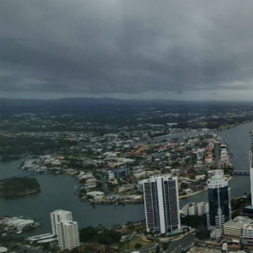
UPDATE @ 4PM | The storm threat across parts of the Gold Coast has eased however heavy rain is continuing to fall.
A large cell swept over northern suburbs this afternoon but lost some steam as it got closer to the coast.
The Bureau says the storms are now below the threshold of severe.
“However, the redevelopment of severe thunderstorms remains likely. The situation is being closely monitored and further detailed warnings will be issued as necessary,” the BOM said.
There is also another storm cell moving in from the west which is likely to impact parts of the Hinterland.
The Bureau is forecast to affect Canungra and the area south of Canungra by 5:00 pm.

IMAGE: BOM
EARLIER @ 3PM | A severe thunderstorm warning has been issued for parts of the Gold Coast with areas in our north in the firing line.
According to the Bureau, a large cell has been detected on the radar near Greenbank in the Logan area.
That storm is tracking towards the southeast and is expected to impact areas including Jimboomba and Woodridge by 3.15pm and Logan City by 3.30pm.
The storm is then set to move across parts of the northern suburbs of the Gold Coast.
The Bureau says the storm is forecast to affect Coomera, Hope Island and Jacobs Well by 4:00 pm.
The BOM has warned of heavy rainfall that may lead to flash flooding and damaging winds are likely.

IMAGE: BOM
Queensland Fire and Emergency Services advises that people should:
* Move your car under cover or away from trees.
* Secure loose outdoor items.
* Never drive, walk or ride through flood waters. If it’s flooded, forget it.
* Seek shelter, preferably indoors and never under trees.
* Avoid using the telephone during a thunderstorm.
* Beware of fallen trees and powerlines.
* For emergency assistance contact the SES on 132 500.